Flock Safety’s 120,000 cameras power warrantless searches of nearly all American travel.
͏ ͏ ͏ ͏ ͏ ͏ ͏ ͏
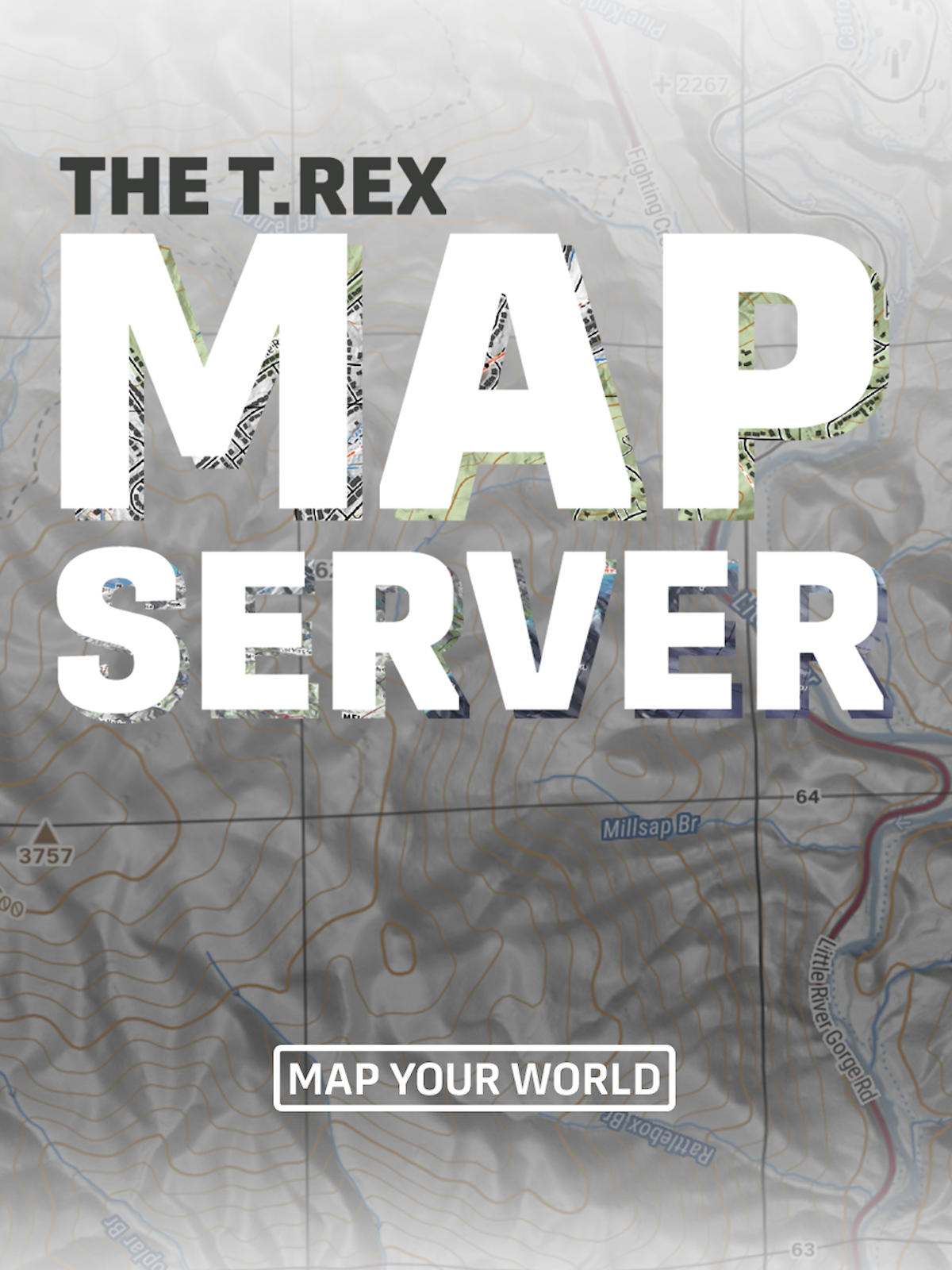
Paper maps with military-style detail have gotten hard to find, but SAR, emergency response, and orienteering still depend on them. T.REX ARMS has just launched a map server that allows for the export of printable PDFs of military-style maps of the entire world. Maps can be printed at 1:50k, 1:25k, 1:24k, 1:48k, and 1:15k scales with MGRS grids and notation as well as UTM and lat-long coordinates.
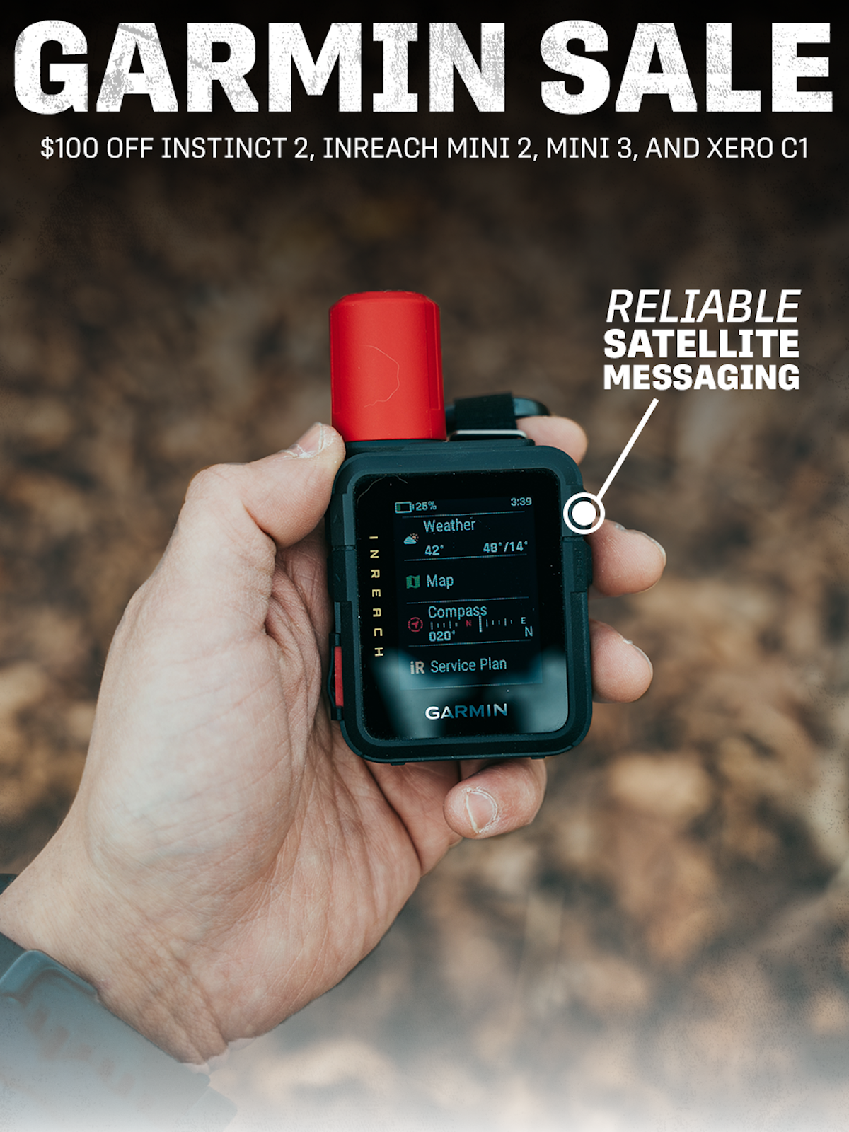
A printed map is only half the equation. Garmin’s Instinct 2 watch puts GPS navigation on your wrist, while the inReach Mini 2 and Mini 3 satellite communicators add off-grid messaging in your vehicle or on your backpack.
When other forms of communication aren’t available, the inReach Mini 3 shines, and its compact size makes it easy to carry wherever you go. Beyond its emergency features, it offers handy navigation tools like breadcrumbs, pins, routes, and Garmin’s TracBack.
Every map has blind spots. Even a perfect one can’t tell you the bridge washed out last spring, so this week we’re talking map reading, land nav, and ground truth.
In this video, Isaac goes over how to navigate the new T.REX Map Server so you can export and print military-style maps of the entire world. T.REX ARMS has compiled all of this map data from public domain and open-source repositories, so these files can be redistributed without complex licensing agreements or subscription fees.
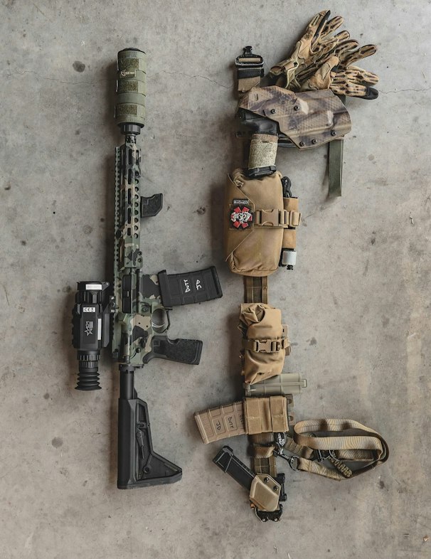
As a former law enforcement officer, @jasondemo has tried most of the retention holsters on the market. He says the Titan stands out because it already includes all the features you want, so there’s no need to buy extra parts to upgrade it.
For a chance to be featured in our next Customer Spotlight, tag us in Instagram or send your photo in to us at [email protected]