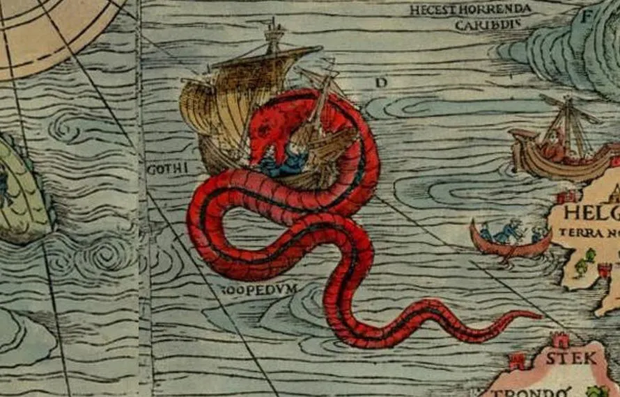
Here Be Dragons: Map Reading, Land Nav, and Ground Truth
It'd be impossible to overstate the importance of a quality map to the success of any attempt at movement, travel, attack, or defense. That's been a truism from back when faraway lands were labeled Here Be Dragons to, well, right now. Using a bad map is bad. Using an incorrect map is worse.
That's why T.REX ARMS established its own mapping and navigation tool: T.REX ARMS Map Server.
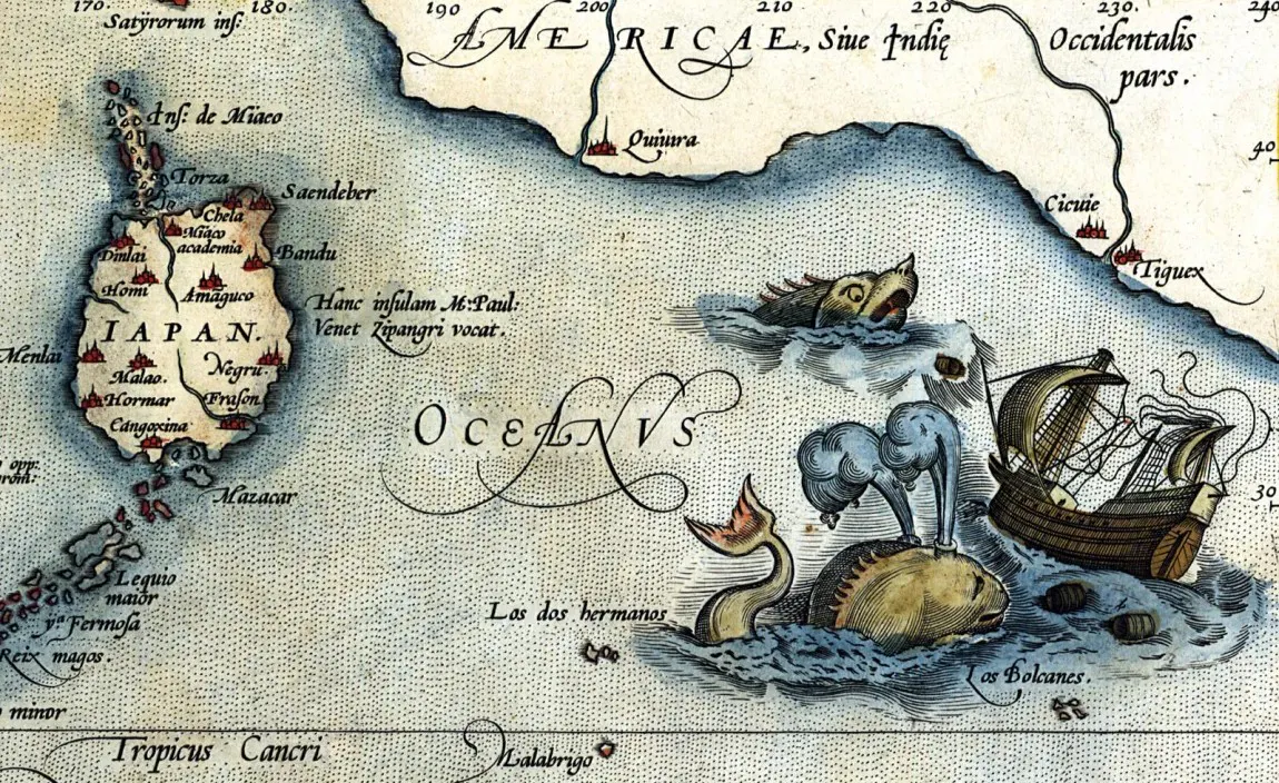
Getting Where You Want to Go: Map Reading vs. Navigation
The first question you're probably asking is, "Why do I need this when I have Google Maps?"
That's an excellent question. The answer applies not just to Google Maps, but also to Waze, Apple Maps, Google Earth, Citymapper, HERE WeGo, and pretty much any other service you use on a road trip or even just driving across town.
There are way too many features and options available on the T.REX Maps Server to go into detail for the use-case of each one. You need to just get on there and experiment. You'll see what I mean.
There are...
- Print, Garmin, or ATAK layout.
- Options for layout (portrait/landscape).
- Multiple choices of scale.
- Innumerable display choices (metric vs. imperial measurements, label intensity, color vs. black and white, levels of terrain contour representation, tree cover (deciduous differentiated from evergreen), power lines, pipelines, water flow arrows, ad infinitum).
- Things less readily available on other map services: Think ham radio repeater frequencies, flood zones, power poles and power lines, runway lengths, tower heights and purpose, etc.
- Your choice of MGRS grid lines or grid numbers.
And more. If you're going to use it (and I do think a lot of you will find it useful), spend some time learning how the different display choices (and toggles) affect the information shown on your map.
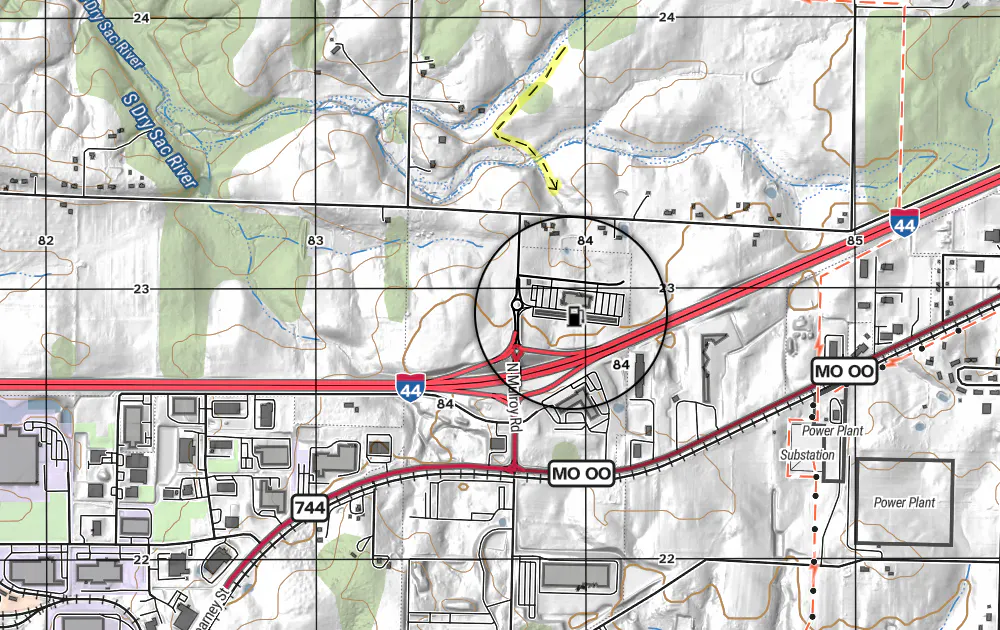
Once you get used to it, you can identify significant areas or routes to record (the region around your home, the cross-country route you'll need to take to rally with friends or family, anything like that). You can then take some screenshots of local terrain, download the area you want detailed, or print it out. (In the latter case, be sure you're either 100% confident in your understanding of the map legend or print a copy of that too.)
Understanding the advantages of something like this is easy. Getting comfortable using it is entertaining.
But knowing what it's not telling you can be difficult, and it's also the most commonly overlooked part of land navigation.
No matter how detailed your map is, you should always try to "ground prove" your map, to validate it's information and discover what it is missing. An extremely detailed, completely accurate map can still be wrong, because of what it leaves out. Ground truth is a Thing, and it might not be what's on your map at all.
Map reading is a valuable skill and maps are an extraordinary asset. But map reading isn't all there is to navigating.
Ground Truth
"The map is not the terrain." We all need to remember that. I first heard it from a land-navigationally-sadistic but very squared-away Lance Gunny a long time ago at Horno's Alpha Shelf. It's one of several learning moments that stuck with me over the years, even though I was supposed to be one of the ones instructing.
That point was driven home later in the context of backcountry navigation on four hooves (vs. two feet or four wheels) by the venerable Jim Grasky. An attempted trip to the Lon Parker Memorial was an effective reminder that while you can reasonably expect the road tracks on Google Maps to remain more or less in place, you'd be foolish to expect the same of arroyos or gullies. Along the same lines, knowing a road exists is one thing. Realizing part of it has been washed out or blocked by a rockfall is quite another.
Virtually every inch of the planet's surface has been photographed from high altitude or even orbit. That information is an integral part of most mapping services. The fact that nearly every square inch of dry land on Earth has passed under a satellite at some point has been immensely helpful. However, that doesn't mean your map knows what you'll be walking through when you're rucking across country under a double canopy of leaves.
Representation vs. Reality
Maps are a static picture. They capture a single moment in time that the viewer must interpret. Colors can be misleading. Contour lines are useful, but they're unlikely to reflect what you'll find and deal with when you get there.
Rockfalls and scree slide down. Bridges wash out. A dry creekbed turns out to be full and moving fast. That creek or pond where you were going to refill your canteen has gone dry or has a dozen cattle (and their excreta) in it.
Field Marshal Viscount William Slim, perhaps the most skilled British general of WW2, once commented on senior military planners who plotted distances and developed strategies on old or small-scale maps. For instance, understanding the physical and mental obstacles a mountain imposes, he said (paraphrased), "To do that, you must scramble up the precipitous slopes and slide down the other side, endlessly, as if you were walking along the teeth of a saw."
Cautionary Notes
Remember, when you train in map reading and practice your land navigation, even correct maps can be wrong—by which I don't mean inaccurate, I mean incomplete.
- Grade and condition of terrain (irregularities, slopes, drainage, soil type, and similar impediments) will rarely be shown.
- A road may be present, but the map isn't going to tell you the status of its foundation and surface material/condition.
- Bridges, tunnels, and underpasses may be clearly marked, but their height clearances, potential blockage, and weight capacity probably won't be.
- Bodies of water and waterways will be marked—navigation depth, current strength, and freezing dates probably will not.
- Hopefully you won't have to deal with this, but a map also won't tell you who in an area might be armed and adversarial, at odds with neighbors or even hostile and tribalistic. There are parts of the world (like the Horn of Africa) where relatively small geographic areas are packed with different ethnic groups, various languages and religions, and political inclinations. That might sound melodramatic, but it has an analog in city neighborhoods during violent periods of urban unrest.
This list is far from comprehensive, but it should get you thinking about how many things there are to take into consideration for land navigation.
What Can You Do to Prepare?
Start learning now. Practice your land navigation and terrain association somewhere nearby, or even on your own property.
Orient yourself to your home or refuge from a variety of nearby places and practice walking there. Private property may be an obstacle to circumvent, but you'll likely find it's far different to walk straight to a place than it is to drive or ride there on roadways. This is very similar to a basic survival tenet taught to people visiting semi-permissive places overseas: Know where the American embassy is and how to get to it from your hotel and work site.
Print off a map of your area, get a compass, and go walking around. That's a part of establishing ground truth, and it'll build your confidence. Take a professional land nav course, or consult some solid reference material and begin teaching yourself. You're not trying to pass SFAS or RASP here. This isn't even an effort to earn the Orienteering Merit Badge (though that might be a good place to start).
Start at the start. Enjoy the process. Don't use your phone except to take pictures.
Just keep in mind that ultimately, this is a serious topic and a valuable skill.
You should definitely consult the T.REX Field Manual Vault for training resources. For instance:
- FM 3-25.26 Map Reading and Land Navigation
- ATP 3-50.21 Survival
- MCTP 3-01A Scouting and Patrolling
- Have to use subways or tunnels? Try ATP 3-21.51
- Maybe even read: Civil Disturbance Operations FM 3-19.15
And remember...don't let your lack of experience dissuade you from starting. Almost nobody gets it right when they're first beginning. That's why you don't wait until things go sideways to start figuring it out.
"From night problems we learned one lasting lesson: when a map and compass come into contact with a 2nd Lt., prepare yourself for confusion."
—Robert Leckie, Helmet for My Pillow