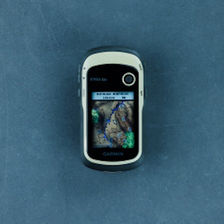
Garmin GPSMAP 67
Video | What’s Included | Specs | Pictures | Related Info
The Garmin GPSMAP 67 is a fully featured GPS device that is extremely rugged, versatile, and easy to use. The 67 is small enough to throw in GP pouches, backpacks, and pant pockets, but it doesn’t lack in its screen size or button layout. The GPSMAP 67 can be beneficial to those who need GPS on hikes, remote exploration, or just simply navigating through public roadways. Some of the biggest benefits to the 67 over something like the eTrex 32x, is the extremely simple interface, and the large screen for viewing.
OVERVIEW VIDEO
WHAT’S INCLUDED
One Garmin GPSMAP 67; one Type A to Type C USB cable; one carabiner clip; documentation
SPECS
FEATURES
- Built-in LED flashlight can be used as a beacon to signal for help.
- Premium, sunlight-readable, rugged 3” color display.
- Preloaded TopoActive U.S. , Mexico, and Canada maps show you terrain contours, topographic elevations, summits, parks, coastlines, rivers, lakes and geographical points.
- Download high-resolution photo-realistic maps directly to your device without an annual subscription. Easily find trails, pick stand locations, find parking, create waypoints and more.
- Access multiple global navigation satellite systems (GPS, GLONASS, GALILEO and QZSS) for challenging locations.
- Superior user position accuracy where GNSS signals are reflected, weak or typically do not penetrate.
- Active Weather features: real-time forecast information and live weather radar when paired with the Garmin Explore smartphone app.
- ABC sensors: Altimeter for elevation data, Barometer to monitor weather, and 3-axis electronic Compass.
- Built to military standards for thermal, shock, and water performance (MIL-STD-810).
- Compatible with night vision goggles.
- Provides up to 180 hours of battery life in GPS mode and up to 840 hours in expedition mode.
- Get automatic cache updates from Geocaching Live, including descriptions, logs and hints.
- Use the Garmin Explore app to plan, review, and sync waypoints, routes, and tracks.
- Wikiloc Trails subscription lets you easily download hiking, cycling and other trails shared by outdoor enthusiasts. Free 60-day trial.
- If you also have an Outdoor Maps+ subscription, you can get public land information, landowner names, state plat maps, hunting management unit boundaries, BLM boundaries and more.
- Powered by an internal lithium-ion rechargeable battery.
Made in Taiwan.
View the Owner’s Manual HERE.
SPECIFICATIONS
GENERAL
| Dimensions | 2.5″ X 6.4″ X 1.4″ (6.2 X 16.3 X 3.5 cm) |
| Display Size | 1.5″W X 2.5″H (3.8 X 6.3 cm); 3″ diag (7.6 cm) |
| Display Resolution | 240 X 400 Pixels |
| Display Type | Transflective Color TFT |
| Weight | 8.1 oz. (230 g) with batteries |
| Waterproof | IPX7 |
| Battery Type | Rechargeable, internal Lithium-Ion |
| Battery Life | Up to 180 hours in default mode Up to 840 hours in expedition mode |
| MIL-STD-810 | Yes (Thermal, Shock, Water) |
| Interface | USB-C |
| Memory/ History | 16 GB (User space varies based on included mapping) |
| Connections/ Wireless Connectivity | Yes (Wi-Fi, Bluetooth, Ant+) |
| LED Beacon Flashlight | ✔ |
MAPS & MEMORY
| Preloaded Maps | Yes (TopoActive; Routable) |
| Ability to Add Maps | ✔ |
| Basemap | ✔ |
| Automatic Routing (Turn-by-Turn Routing on Roads) | ✔ |
| Map Segments | 15,000 |
| Birdseye | Yes (direct to device) |
| Includes Detailed Hydrographic Features (Coastlines, Lake/River Shorelines, Wetlands and Perennial and Seasonal Streams) | ✔ |
| Includes Searchable Points of Interests (Parks, Campgrounds, Scenic Lookouts and Picnic Sites) | ✔ |
| Displays National, State and Local Parks, Forests, and Wilderness Areas | ✔ |
| External Memory Storage | Yes (32 GB max microSD card) |
| Waypoints/ Favorites/ Locations | 10,000 |
| Tracks | 250 |
| Navigation Track Log | 20,000 points 250 saved gpx tracks 300 saved fit activities |
| Navigation Routes | 250 Points Per Route; 50 Points Auto Routing |
SENSORS
| High-Sensitivity Receiver | ✔ |
| GPS | ✔ |
| GLONASS | ✔ |
| GALILEO | ✔ |
| QZSS | ✔ |
| Barometric Altimeter | ✔ |
| Compass | Yes (Tilt-Compensated 3-Axis) |
| GPS Compass (While Moving) | ✔ |
| Multi-Band Frequency Support | ✔ |
OUTDOOR RECREATION
| LiveTrack Safety and Tracking Features | ✔ |
| Point-to-Point Navigation | ✔ |
| TRACBACK® | ✔ |
| Area Calculation | ✔ |
| Hunt/Fish Calendar | ✔ |
| Sun and Moon Information | ✔ |
| Xero Locations | ✔ |
| Geocaching-Friendly | Yes (Geocache Live) |
| Custom Maps Compatible | Yes (500 Custom Map Tiles) |
| Picture Viewer | ✔ |
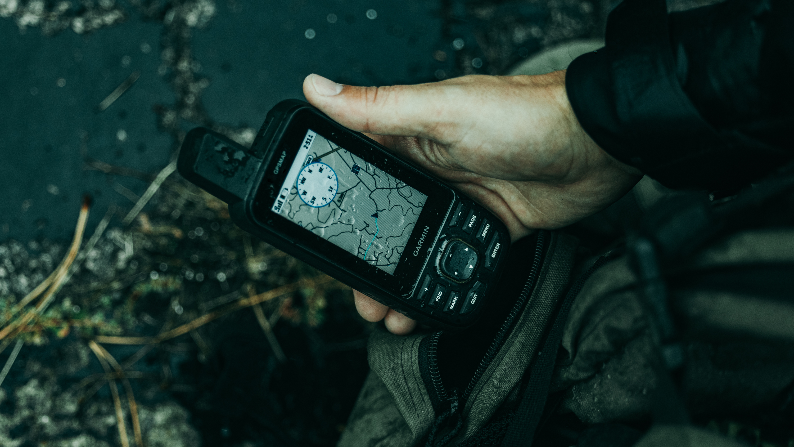
PICTURES


Garmin Video Tutorials – Help – Garmin
Downloading BirdsEye Imagery and Wikiloc Routes – Help – Garmin
Routing to a Waypoint on a GPSMAP – Help – Garmin